


Our Summit Lake is a community process to create a shared vision for land within the entire Summit Lake neighborhood. By working together, local residents and The City of Akron will transform the vision into reality.
Neighborhood Map
The project area includes the entire Summit Lake neighborhood from Thornton, to Main, to the railroad tracks, to Manchester.

Draft Land Use Plan
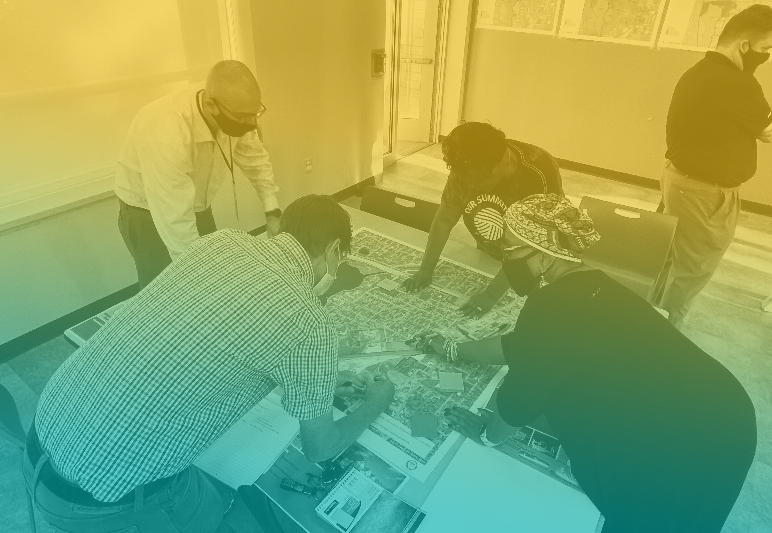
Through a yearlong community engagement process, a land use plan was developed for the Summit Lake neighborhood. Feedback from residents and local stakeholders was gathered through in-person public meetings, walking tours, pop-up events, hands-on workshops, and a neighborhood survey. The map includes eight different types of land uses, each shown with a different color. The variety and locations of these uses reflect the priorities of Summit Lake residents for their neighborhood.
Community Event Presentation
Thanks to all residents, business owners, and community members who contributed their ideas and time to Our Summit Lake’s planning process. Over 70 participants joined the final Virtual Community Event on January 11, 2022. The adjacent presentation slides were shown during the meeting. Please feel free to scroll through the slides in the embedded viewer to see an overview of the process, review the community feedback, and dig in to the maps created from the residents’ priorities.

PROJECT TIMELINE
Engaged community.
The project timeline includes multiple ways for Summit Lake residents to get involved and share their ideas.

